Outdoor navigation is a critical skill set for enthusiasts who venture into the wilderness. Whether hiking through dense forests, camping in remote areas, or backpacking across challenging terrains, the ability to navigate effectively can significantly enhance both safety and enjoyment. Navigation skills are indispensable for avoiding getting lost, efficiently reaching destinations, and managing unexpected situations that may arise in unfamiliar environments.
There are numerous scenarios where robust navigation knowledge becomes crucial. For instance, hikers often encounter unmarked trails or sudden weather changes that obscure landmarks. Campers, on the other hand, may need to locate water sources or safe camping spots,
What’s In This Guide?
while backpackers can face extended journeys requiring precise route planning to conserve resources and maintain a steady pace. Being well-versed in navigation helps in making informed decisions, thus preventing potential dangers and ensuring a successful outdoor experience.
This blog post will delve into three key navigation techniques that every outdoor enthusiast should master. These techniques are designed to provide practical, hands-on guidance for navigating in various terrains and conditions. By understanding and applying these methods, outdoor adventurers can enhance their navigation skills, leading to safer and more enjoyable excursions. The techniques covered will include map reading and interpretation, the use of a compass, and utilizing GPS technology. Each of these methods offers unique advantages and, when combined, form a comprehensive toolkit for effective navigation in the great outdoors.
1. Using a Map and Compass
Understanding how to use a map and compass is a fundamental skill for outdoor enthusiasts. A topographic map provides detailed information about the terrain, allowing users to navigate through various landscapes effectively. To begin, familiarize yourself with the map’s legend, which explains the symbols used to represent features such as rivers, trails, and elevation. Contour lines, which indicate elevation changes, are crucial; closely spaced lines signify steep terrain, while widely spaced lines suggest a gentle slope.
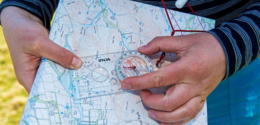
Orienting your map is the first step in using a compass. Place the map on a flat surface and align the compass edge along a north-south grid line.
Rotate the map and compass together until the compass needle points to true north. This orientation ensures that the map’s features correspond accurately with the actual terrain.
To take a bearing, identify your current location and the destination on the map. Place the compass on the map so that the edge connects these two points. Rotate the compass housing until the orienting lines align with the north-south grid lines on the map. The bearing, indicated by the compass needle, shows the direction to follow.
Following a bearing in the field requires periodic checks to ensure accuracy. Hold the compass level and turn your body until the compass needle aligns with the orienting arrow. Identify a distant landmark in the direction of the bearing and walk towards it. Repeat this process as necessary to stay on course.
Practicing these skills in a controlled environment, such as a local park, can build confidence before venturing into the wilderness. Common mistakes include misreading the map’s scale, neglecting to account for magnetic declination, and failing to recheck the bearing regularly. To avoid these pitfalls, double-check your calculations and remain vigilant about your surroundings.
Mastering the use of a map and compass can enhance your navigation capabilities, ensuring safer and more enjoyable outdoor adventures.
2. Navigating with a GPS Device
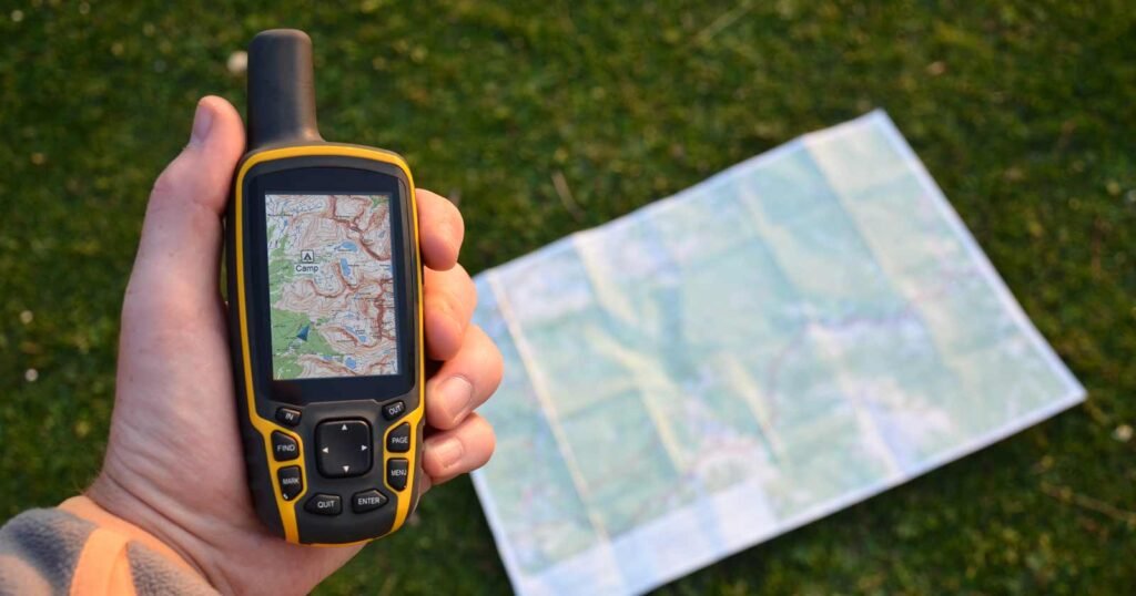
GPS devices have revolutionized outdoor navigation by providing precise location data and route mapping capabilities. Their benefits are numerous: they offer real-time positioning, easy route tracking, and the ability to store waypoints for future reference. Setting up a GPS unit involves initializing the device, ensuring it has a clear view of the sky for satellite connectivity, and calibrating the compass if necessary.
Users can enter waypoints by manually inputting coordinates or by selecting a location on the device’s map. Tracking routes is straightforward, as most GPS units record the path traveled, allowing for easy backtracking if needed.
Despite their advantages, GPS devices do have limitations. Battery dependency is a significant concern; thus, carrying spare batteries or a portable charger is essential. Additionally, GPS units can lose signal in dense forests, deep canyons, or urban environments with tall buildings. Regular updates are crucial to ensure the device has the latest maps and software enhancements. Understanding all features and settings, such as altitude measurement, distance calculation, and waypoint management, maximizes the utility of a GPS device.
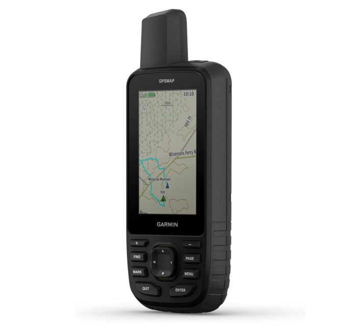
Various types of GPS devices cater to different needs. Handheld GPS units, known for their durability and long battery life, are ideal for extended outdoor adventures. Wearable GPS devices, such as smartwatches, offer convenience and multifunctionality but may have shorter battery lives. Smartphone GPS apps provide extensive functionality and ease of use but are dependent on the phone’s battery and signal reception. Notable recommendations include the Garmin GPSMAP 66 for its robust features and reliability, the Suunto 9 Baro for its wearable convenience, and the Gaia GPS app for its comprehensive mapping and route planning capabilities.
Ultimately, mastering the use of a GPS device enhances navigation skills and ensures a safer, more enjoyable outdoor experience.
Top 4 Handed GPS according to outdoorgearlab.com
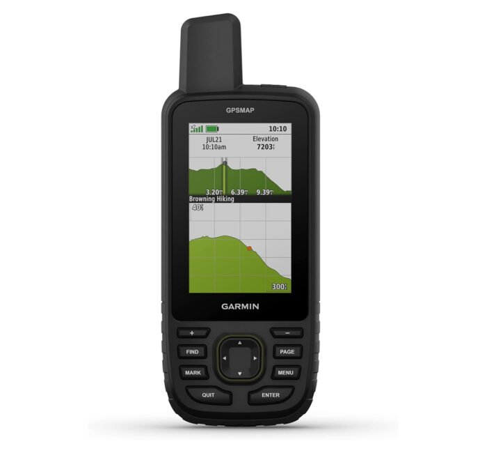
Garmin GPSMAP 67 Rugged GPS
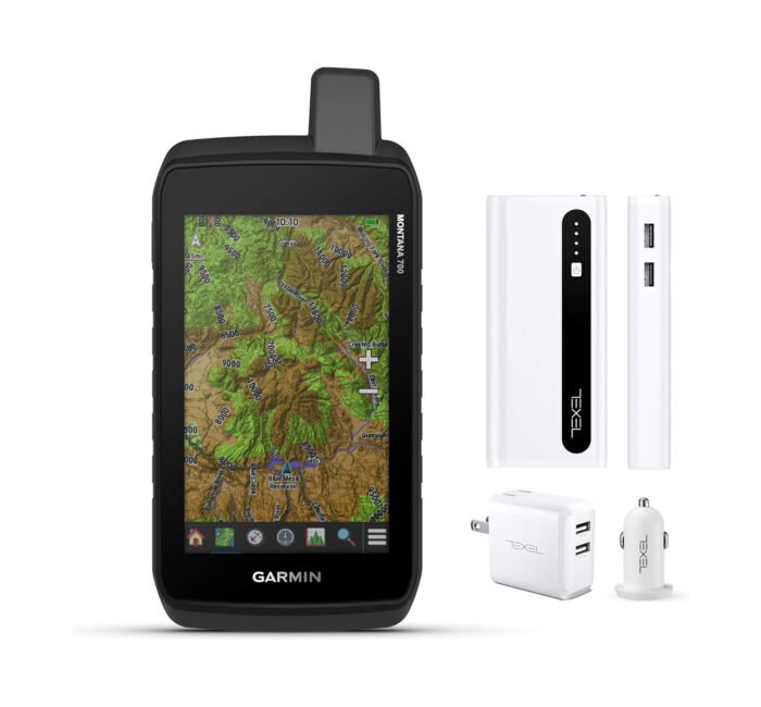
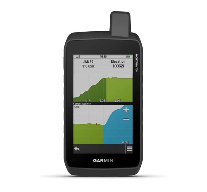
Garmin Montana 700 Rugged GPS
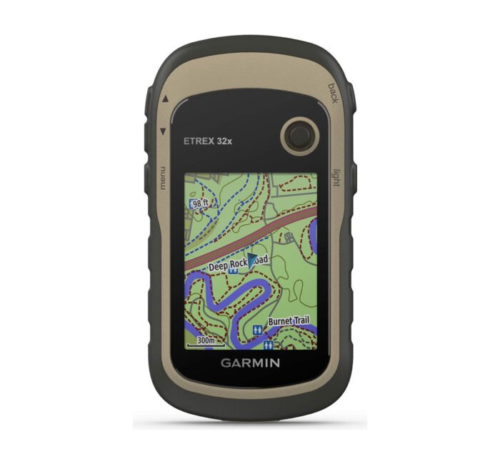
Garmin eTrex 32x
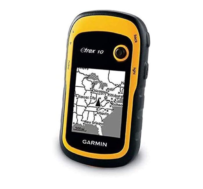
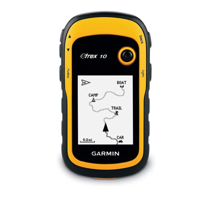
Garmin eTrex 10
Check The Full Review On Outdoorgearlab.com
3. Natural Navigation Techniques
Outdoor enthusiasts often find themselves in situations where technology may fail or become unavailable. In such instances, traditional navigation methods become invaluable. Natural navigation relies on understanding and interpreting the environment around you to find your way. One of the most fundamental techniques is using the sun for direction. The sun rises in the east and sets in the west; by observing its position at different times of the day, you can approximate cardinal directions. For instance, during midday, the sun will be in the southern part of the sky in the Northern Hemisphere.

Similarly, the stars can serve as reliable navigational aids. The North Star, or Polaris, is a fixed point in the night sky that indicates true north. By locating Polaris, you can establish a northern direction and orient yourself accordingly. Another stellar method involves using constellations like Orion’s Belt, which can help determine east and west during specific times of the year.
Recognizing landmarks is another essential natural navigation technique. Unique and prominent features such as mountains, rivers, and rock formations serve as reference points. By memorizing these landmarks and their relative positions, you can create a mental map of the terrain. This skill can be honed by regularly hiking in familiar areas and gradually expanding your range.
Understanding natural signs like wind patterns and animal behavior also enhances your ability to navigate without technology. Wind often follows predictable patterns based on the time of day and geographical features. For example, in coastal areas, sea breezes occur during the day, while land breezes prevail at night. Observing animal trails and migration patterns can also provide clues about the best routes and directions to take.
Developing these skills requires practice and keen observation. Spend time in various outdoor settings, paying attention to the natural indicators around you. Practice using the sun and stars for direction, and make a habit of noting landmarks and natural signs. Over time, these techniques will become second nature, ensuring you can navigate confidently even when modern tools are unavailable.

